|
Purchase AVAtlas 2 and receive a fully unlocked version of this extension. Download an evaluation copy of AVAtlas 2. |
AVAtlas 1.x and 2.x at a glance.
Frequently Asked Questions (FAQ) about AVAtlas 2.x for users of AVAtlas 1.x.
AVAtlas is an extension to ArcView GIS which provides all the tools necessary to create a printed atlas (sometimes called a map book) within ArcView.
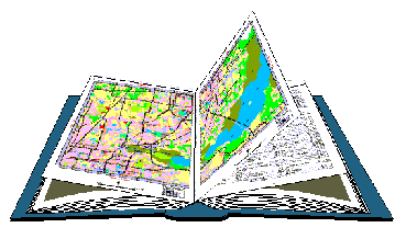
ArcView's cartographic tools were designed to create very sophisticated individual maps. AVAtlas was designed around the concept of an atlas. However, AVAtlas does much more than just break up a map onto multiple pages. It handles all the details necessary for creating a true multi-page document just like your standard word processor will.
Things like page numbering, indexing, two-sided printing, print previewing are all automatically handled by AVAtlas.
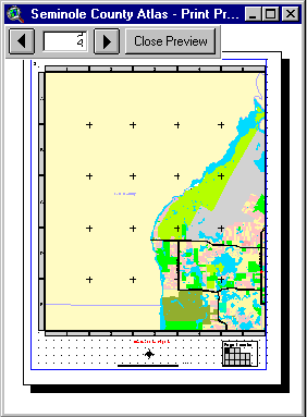
AVAtlas adds a new type of document to ArcView called an Atlas. An Atlas is similar to Layout with the following differences:
1. An Atlas document can have multiple sections. A section is group of pages in your atlas that display similar things. For example, if you were developing a street atlas, the pages displaying the street maps would be one section while the street name index would be another.
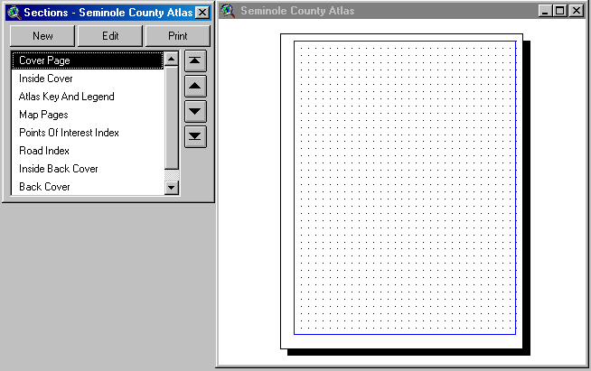
2. An Atlas document knows how to draw 6 new frame types (Atlas Frame, Atlas Key Frame, Atlas Locator Frame, Atlas Text Frame, Atlas Section Index Frame, and Atlas Page Index Frame) in addition to the regular Layout frame types (View Frame, Legend Frame, etc.).
Atlas Frame
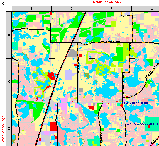
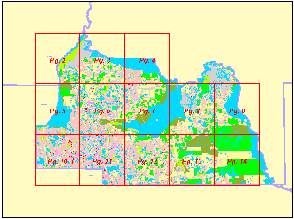
An Atlas Frame is how you display parts of your View in and Atlas (similar to a Layout's View Frame). However, unlike a View Frame, an Atlas Frame knows how to break the map onto multiple pages using the contents of a special polygon theme called the Index Theme. For example if your Index Theme is breaking your View into 20 pages, the Atlas Frame will make the Section 20 pages long.
Atlas Key Frame
An Atlas Key Frame is used to create key maps. For example, you might want a map of the entire United States at the beginning of your Atlas showing the page number where each state can be found. An Atlas Key Frame was designed for this purpose.
Atlas Locator Frame
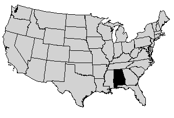
An Atlas Locator Frame shows you which part of the overall map is being displayed on the current page. For example, if you create an atlas of U.S. States, you might want a small map of the entire United States on each page highlighting the location of the state that is currently being displayed. An Atlas Locator Frame is designed for this purpose.
Atlas Text Frame
An Atlas Text Frame is used to create dynamic text on the pages of an Atlas. For example, if each page of an Atlas is showing a unique section, township and range, you may want to create a text box that shows what the section, township and range values are on each page of the atlas. If you have this information in your Index Theme, you can use the Atlas Text Frame to create a text box that dynamically lists this information from page to page.

Atlas Section Index Frame and Atlas Page Index Frame
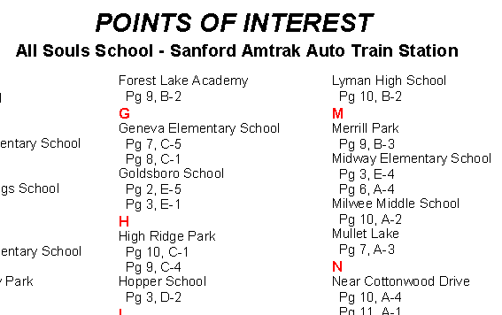
A Index Frames are used to create indexes of features on your map pages. For example, if you are creating a road atlas, you may wish to have a listing of where each road can be found in the atlas (for example, First Street….Page 2 B-4). Depending on how many listings there are, a Section Index Frame can occupy one or more pages.
3. Some Atlas frame types know how to print over multiple pages. This allows you to very easily define a single page of a section and then let AVAtlas create all the other pages of that section.
4. An Atlas document knows how to handle all the issues related to creating a multi-page document such as page numbering, and two-sided printing.
Download a demonstration version of AVAtlas 1.x!
Download a demonstration version of AVAtlas 2.x!
Printing and exporting functions are disabled on the demonstration versions. Then if you decide you like AVAtlas, purchase a Registered Copy of version 1.x ($549.00) or version 2.x ($899.00) and receive a fully functional version of AVAtlas.